Mobile Mapping
Back
The system is available throughout the UK and globally.
Typical applications include:
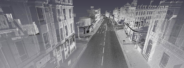
• Road and highway scanning
• Street and facade measurement
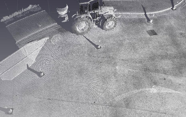
• Topographical surveying
• Cultural heritage surveys
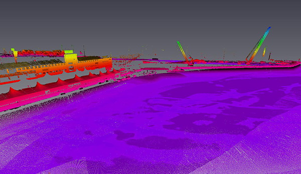
Sabre-Scan now seamlessly integrates underwater with Kongsberg sonar to give surface dockyard, riverbank and seabed 3d point clouds.
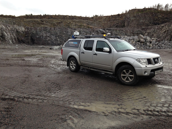
Co-Surveys Ltd use SABRE mobile mapping systems, which combine the attributes of the Faro Focus and GNSS positioning and Inertial Navigation System.
This highly portable system enables mobile scanning to be carried out from a variety of platforms including, ATV, 4x4, cars, boats and UAV.The system is available throughout the UK and globally.
Typical applications include:
• Road and highway scanning
• Street and facade measurement
• Topographical surveying
• Cultural heritage surveys
Sabre-Scan now seamlessly integrates underwater with Kongsberg sonar to give surface dockyard, riverbank and seabed 3d point clouds.